
Can a Phoenix Home Flood Outside a Mapped Flood Zone?
Yes. A Phoenix home can flood outside a mapped high-risk flood area. Maps describe studied hazards using particular information and assumptions; they do not guarantee that every drainage problem, extreme event, or water entry pathway has been eliminated. Review the current map and the property's actual conditions together.
Being outside a mapped boundary can be useful information, but it should not end the investigation after water enters a home. Local runoff, building defects, and changes around a property can still require attention. This article does not assign a risk category to any neighborhood, ZIP code, or individual address.
Understand What the Map Does and Does Not Say
The Maricopa County floodplain resource explains that a mapped 100-year floodplain reflects a one-percent annual probability, not flooding that happens only once every century. It also notes that hazards may exist outside documented study areas and that maps can change.
That means a map should be read as a technical planning resource, not a prediction of exactly where the next storm will send water. The absence of a mapped high-risk classification does not prove that a threshold, low point, or drainage path cannot be overwhelmed.
Ask which map is current and whether a more detailed local study applies. Avoid relying solely on a screenshot from an old property listing or an informal description from someone who has not checked the address.
Look at the Water Path on the Actual Property
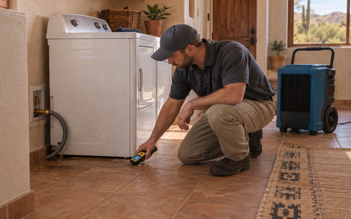
After a loss, document where water was observed, when it appeared, and whether it arrived from outside or another source. Visible silt, water marks, and timing may help an investigation, but they should not be treated as a complete engineering diagnosis.
A flood damage assessment can record affected materials and observed entry conditions. A drainage or building-envelope professional may be needed to investigate why the water reached the structure and what correction is appropriate.
- Keep photographs from safe locations.
- Record prior similar events and repair attempts.
- Note recent changes to surfaces or drainage without assuming causation.
- Ask the appropriate local office about address-specific information.
- Separate interior restoration from any proposed drainage redesign.
Use Phoenix's Local Floodplain Resources
The City of Phoenix floodplain management program provides information about floodplain requirements and may have relevant property records, including elevation certificates for some properties. Phoenix manages its own program, so county information may point you to the city for the particular question.
If rebuilding or drainage changes are proposed, ask about applicable requirements before work is designed or started. Do not assume that an interior loss has no permitting implications, or that every repair requires the same approval. The project and property circumstances determine what needs review.
For immediate weather safety, maps are not a reason to ignore a warning. NWS Phoenix emphasizes that washes and low crossings can flood rapidly and that runoff can arrive from distant storms. Follow current instructions rather than a property's general map category.
Keep Recovery and Future Protection Separate
If water has already entered, address the affected materials even while the source investigation continues. Flood restoration may involve contaminated sediment, extraction, cleaning, and drying. A discussion about future risk should not leave current wet materials unassessed.
Ask an insurance agent about the protection actually in force and future options. A property's mapped classification is not a coverage promise, and an online article cannot determine whether a particular loss is insured. Preserve the factual loss record for the insurer's review.
Once the immediate recovery is organized, compare any proposed prevention work with the confirmed cause. A generic barrier or grading change may not address the real pathway and could affect neighboring drainage if designed without appropriate review.
Questions About Flood Maps in Phoenix
Does a 100-year flood happen only once in 100 years?
No. The term describes a one-percent annual probability in the mapped context, not a schedule. It does not guarantee a long flood-free interval after one event.
Can a map prove that my property is safe from monsoon water?
No. It is one source of risk information. Local drainage, building conditions, and the actual storm still matter, and address-specific questions should go to the relevant professionals and local authority.
Should I investigate runoff if the map shows lower risk?
Yes, if water has entered or there are recurring concerns. The observed problem deserves investigation rather than dismissal based only on a broad map classification.
Get Flood Damage Assessed at Your Phoenix Property
For existing damage, Request Service or call (602) 902-1375. Share the observed water path and any previous incidents so Phoenix Flood Restoration can assess the affected materials.