
What Is Moisture Mapping After Flood Damage in Phoenix?
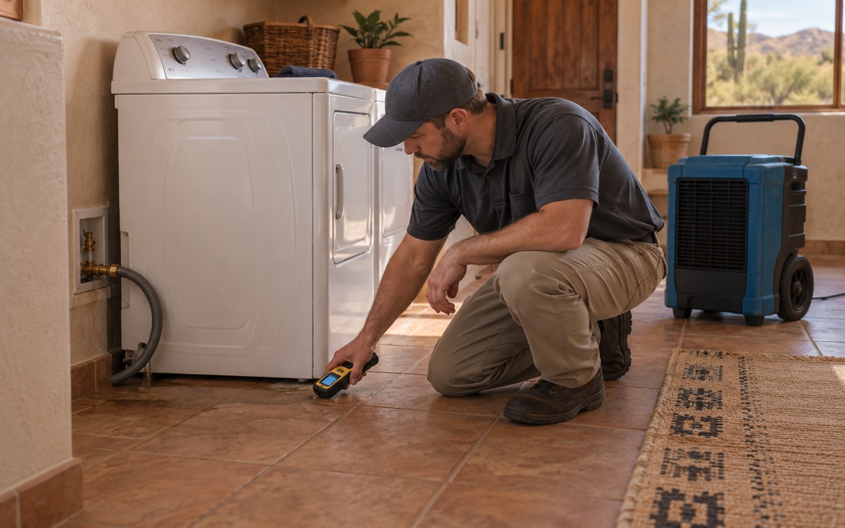
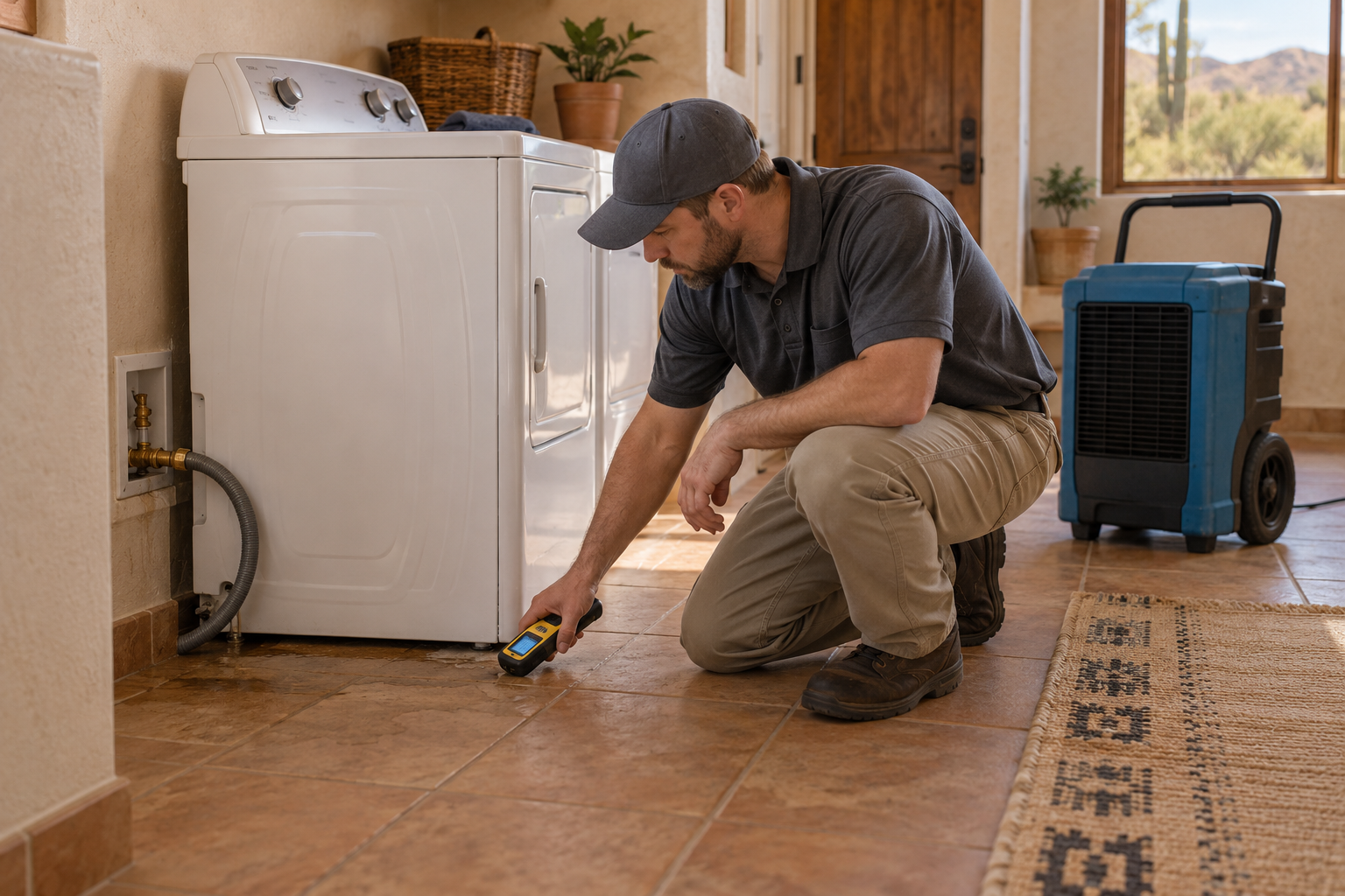
Moisture mapping is a location-based record of where a building is wet and how those conditions change during recovery. Technicians combine inspection with suitable measurements, identify affected materials, and revisit meaningful locations. The map supports drying and repair decisions; it is not simply a photograph of the puddle or a guarantee that every concealed space has been tested.
The map starts with the path of water
Water does not always stop at the edge of a visible stain. It can reach adjoining materials, move beneath finishes, or remain in assemblies after the surface has dried. An initial map helps distinguish observed damage from areas needing further investigation.
The assessor considers the reported source, when the loss was noticed, visible marks, construction, and available access. Measurements then help establish the working boundary. That boundary may expand when new information appears; an initial map is not a promise that the first inspection can see through every obstruction.
After a Phoenix monsoon loss, the potential entry point matters because outdoor water may also carry contaminants. CDC floodwater guidance explains why its appearance does not establish safety. Mapping moisture and evaluating contamination are related but separate tasks.
Why locations make readings useful
A reading needs an identifiable location to be compared later. A sketch, annotated photograph, or digital record can associate measurements with specific surfaces and materials. Clear location notes allow a subsequent visit to check the same area rather than whichever spot happens to be easiest to reach.
Material details matter as much as position. A reading taken on a trim board cannot automatically be compared with one taken on a different wall finish. The technician should record enough context to interpret the result and recognize when a different test or access method is needed.
Phoenix Flood Restoration's moisture detection and mapping service supports this kind of assessment. Ask how the record identifies wet areas, reference conditions, and portions of the building that were inaccessible.
How the map shapes drying decisions
A useful map directs attention to the actual wet materials. It can help guide equipment placement, identify an area that is not improving, and show whether additional access needs consideration. It also prevents a project from being judged only by the most visible part of the damage.
During structural drying, repeated measurements help distinguish progress from a stalled area. A persistent wet location might require a revised drying approach or investigation of continuing water entry. The record identifies the question; it does not establish the cause by itself.
EPA's material guidance highlights that underflooring may need drying even when the exposed covering has been addressed. A map that records only visible surfaces can miss the assembly-level question that determines the next step.
What mapping can and cannot prove
Moisture mapping is a documented assessment, not an unlimited warranty about concealed conditions. Restricted access, layered construction, instrument limitations, and new water entry can all change what is known. Good records distinguish confirmed findings from suspicions or untested areas.
That distinction is useful when a repair scope changes. Rather than relying on a vague explanation that more damage was found, the team can show where the new condition is located and why it affects the work. Photos, material notes, and readings together give a more complete account.
For homeowners and insurers, mapping can support understanding of the loss, but it does not decide policy coverage. A damage assessment and an insurer's coverage review answer different questions. Keep the record with the project documents and ask about any unresolved areas before repairs conceal them.
Related questions
Is moisture mapping the same as thermal imaging?
No. Thermal imaging can help an assessor identify temperature patterns worth checking, while mapping records locations and findings. Confirmation may involve other instruments and inspection rather than treating every thermal pattern as moisture.
Do I need a map if only one area looks wet?
The extent cannot always be established by appearance alone. An assessor can determine what checks are appropriate for the water source, materials, and adjoining construction without assuming the entire building is affected.
Should the map change during drying?
The location reference should stay understandable, while readings and findings are updated. New access or fresh intrusion may change the assessed boundary. Ask for an explanation when that change affects the proposed work.
Understand where your Phoenix flood damage extends
If the visible damage does not explain everything that feels damp or looks affected, contact Phoenix Flood Restoration. A location-based assessment can help clarify the drying area, the limits of the inspection, and the next decisions before repair work begins.
Request Service or call (602) 902-1375.